Farmland near Mobberley from the air
Introduction
The photograph on this page of Farmland near Mobberley from the air by Thomas Nugent as part of the Geograph project.
The Geograph project started in 2005 with the aim of publishing, organising and preserving representative images for every square kilometre of Great Britain, Ireland and the Isle of Man.

There are currently over 7.5m images from over 14,400 individuals and you can help contribute to the project by visiting https://www.geograph.org.uk
Farmland near Mobberley from the air
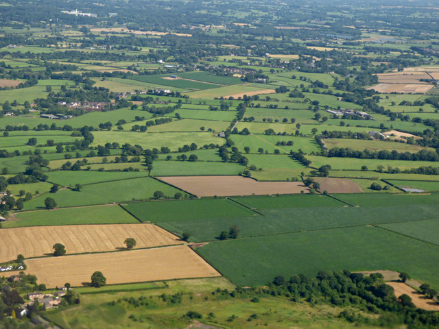
Image: © Thomas Nugent Taken: 17 Jul 2017
Seen shortly after take-off from runway 23L at Manchester Airport. Mobberley nature reserve is at the bottom of the photo.
Images are licensed for reuse under creativecommons.org/licenses/by-sa/2.0
Image Location
Latitude
53.311995
Longitude
-2.324151