Linden Grove, Govilon
Introduction
The photograph on this page of Linden Grove, Govilon by Jaggery as part of the Geograph project.
The Geograph project started in 2005 with the aim of publishing, organising and preserving representative images for every square kilometre of Great Britain, Ireland and the Isle of Man.

There are currently over 7.5m images from over 14,400 individuals and you can help contribute to the project by visiting https://www.geograph.org.uk
Linden Grove, Govilon
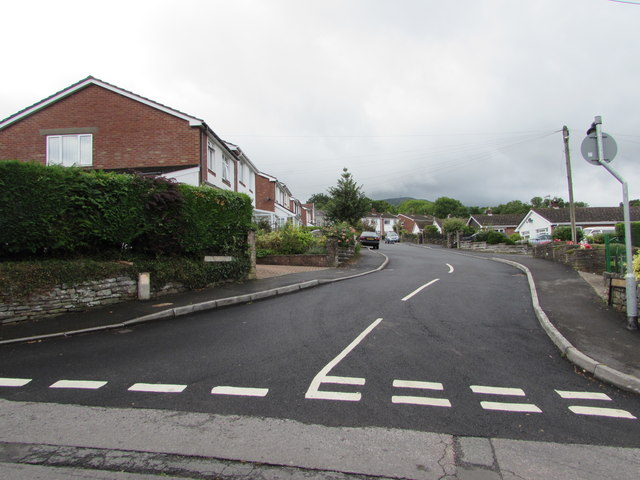
Image: © Jaggery Taken: 23 Jul 2017
Cul-de-sac viewed from a side road between the B4246 Merthyr Road and Station Road.
Images are licensed for reuse under creativecommons.org/licenses/by-sa/2.0
Image Location
Latitude
51.817802
Longitude
-3.066833