The Hillhead Road, Coleman's Corner near Ballyclare (July 2017)
Introduction
The photograph on this page of The Hillhead Road, Coleman's Corner near Ballyclare (July 2017) by Albert Bridge as part of the Geograph project.
The Geograph project started in 2005 with the aim of publishing, organising and preserving representative images for every square kilometre of Great Britain, Ireland and the Isle of Man.

There are currently over 7.5m images from over 14,400 individuals and you can help contribute to the project by visiting https://www.geograph.org.uk
The Hillhead Road, Coleman's Corner near Ballyclare (July 2017)
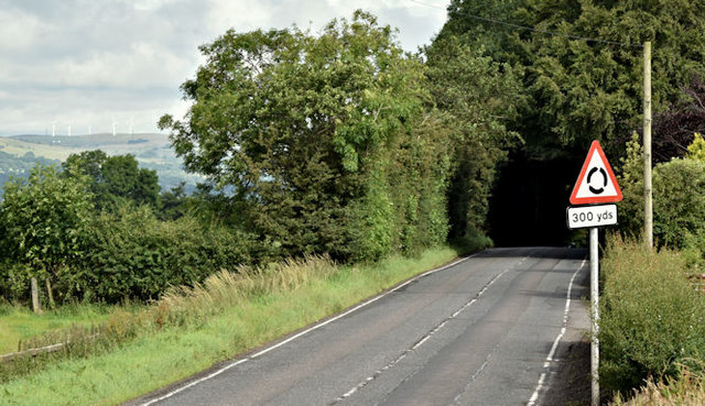
Image: © Albert Bridge Taken: 22 Jul 2017
The Hillhead Road Image, though classified as a “B” road, is part of the main road from Ballyclare to Belfast. This view is towards Ballyclare as it approaches the roundabout at Coleman’s Corner Image The sign (middle right) has been turned by person or persons unknown.
Images are licensed for reuse under creativecommons.org/licenses/by-sa/2.0
Image Location
Latitude
54.726868
Longitude
-5.971597