Farm and pasture south-east of Gauntons Bank, Cheshire
Introduction
The photograph on this page of Farm and pasture south-east of Gauntons Bank, Cheshire by Roger D Kidd as part of the Geograph project.
The Geograph project started in 2005 with the aim of publishing, organising and preserving representative images for every square kilometre of Great Britain, Ireland and the Isle of Man.

There are currently over 7.5m images from over 14,400 individuals and you can help contribute to the project by visiting https://www.geograph.org.uk
Farm and pasture south-east of Gauntons Bank, Cheshire
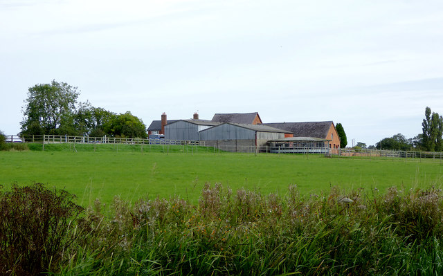
Image: © Roger D Kidd Taken: 23 Sep 2015
A telephoto assisted image looking towards Ryebank Farm from a passing narrowboat on the Llangollen Canal.
Images are licensed for reuse under creativecommons.org/licenses/by-sa/2.0
Image Location
Latitude
53.020739
Longitude
-2.638452