Land use change from the South Downs Way to Hodcombe Farm
Introduction
The photograph on this page of Land use change from the South Downs Way to Hodcombe Farm by Andrew Diack as part of the Geograph project.
The Geograph project started in 2005 with the aim of publishing, organising and preserving representative images for every square kilometre of Great Britain, Ireland and the Isle of Man.

There are currently over 7.5m images from over 14,400 individuals and you can help contribute to the project by visiting https://www.geograph.org.uk
Land use change from the South Downs Way to Hodcombe Farm
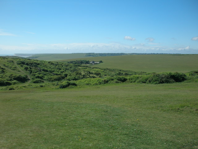
Image: © Andrew Diack Taken: 4 Jun 2017
This photo shows variation of land use from the grassy path of the South Downs Way in the foreground to the scrub of Shooters Bottom in the middle distance and the farmland of Hodcombe Farm beyond that.
Images are licensed for reuse under creativecommons.org/licenses/by-sa/2.0
Image Location
Latitude
50.739383
Longitude
0.225801