Gatacre Playing Field
Introduction
The photograph on this page of Gatacre Playing Field by Eirian Evans as part of the Geograph project.
The Geograph project started in 2005 with the aim of publishing, organising and preserving representative images for every square kilometre of Great Britain, Ireland and the Isle of Man.

There are currently over 7.5m images from over 14,400 individuals and you can help contribute to the project by visiting https://www.geograph.org.uk
Gatacre Playing Field
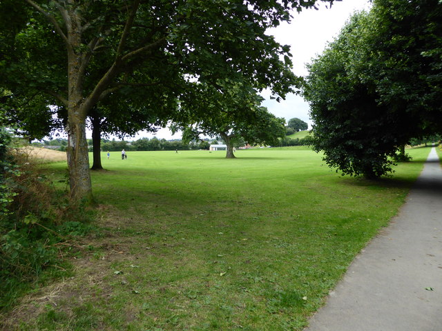
Image: © Eirian Evans Taken: 3 Aug 2016
A large, open aspect recreational field on the northern edge of Oswestry
Images are licensed for reuse under creativecommons.org/licenses/by-sa/2.0
Image Location
Latitude
52.867943
Longitude
-3.051864