Track at Crythan Brook
Introduction
The photograph on this page of Track at Crythan Brook by Alan Hughes as part of the Geograph project.
The Geograph project started in 2005 with the aim of publishing, organising and preserving representative images for every square kilometre of Great Britain, Ireland and the Isle of Man.

There are currently over 7.5m images from over 14,400 individuals and you can help contribute to the project by visiting https://www.geograph.org.uk
Track at Crythan Brook
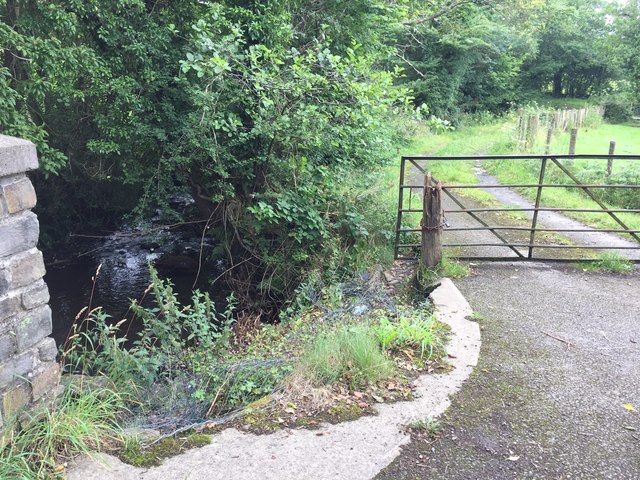
Image: © Alan Hughes Taken: 20 Jul 2017
It's not clear where the track leads, but possibly it linked up to the railway which ran from Tonmawr to Briton Ferry, a quarter of a mile to the south. There were also several mines in the area, so perhaps it was connected with one of these.
Images are licensed for reuse under creativecommons.org/licenses/by-sa/2.0
Image Location
Latitude
51.644505
Longitude
-3.786996