Ynys Street, Port Talbot
Introduction
The photograph on this page of Ynys Street, Port Talbot by Alan Hughes as part of the Geograph project.
The Geograph project started in 2005 with the aim of publishing, organising and preserving representative images for every square kilometre of Great Britain, Ireland and the Isle of Man.

There are currently over 7.5m images from over 14,400 individuals and you can help contribute to the project by visiting https://www.geograph.org.uk
Ynys Street, Port Talbot
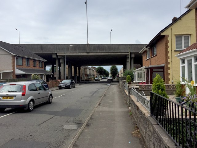
Image: © Alan Hughes Taken: 20 Jul 2017
Housing lines this street which is bridged by the M4. The level of traffic noise is surprisingly low.
Images are licensed for reuse under creativecommons.org/licenses/by-sa/2.0
Image Location
Latitude
51.597181
Longitude
-3.776763