Road Up Hartington Dale
Introduction
The photograph on this page of Road Up Hartington Dale by Nigel Mykura as part of the Geograph project.
The Geograph project started in 2005 with the aim of publishing, organising and preserving representative images for every square kilometre of Great Britain, Ireland and the Isle of Man.

There are currently over 7.5m images from over 14,400 individuals and you can help contribute to the project by visiting https://www.geograph.org.uk
Road Up Hartington Dale
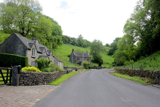
Image: © Nigel Mykura Taken: 10 Jun 2017
These cottages are on the minor road the B5404 that leads out of the village east up towards the A515.
Images are licensed for reuse under creativecommons.org/licenses/by-sa/2.0
Image Location
Latitude
53.1414
Longitude
-1.805021