Route of the Brock Burn near Langton Bridge
Introduction
The photograph on this page of Route of the Brock Burn near Langton Bridge by Richard Sutcliffe as part of the Geograph project.
The Geograph project started in 2005 with the aim of publishing, organising and preserving representative images for every square kilometre of Great Britain, Ireland and the Isle of Man.

There are currently over 7.5m images from over 14,400 individuals and you can help contribute to the project by visiting https://www.geograph.org.uk
Route of the Brock Burn near Langton Bridge
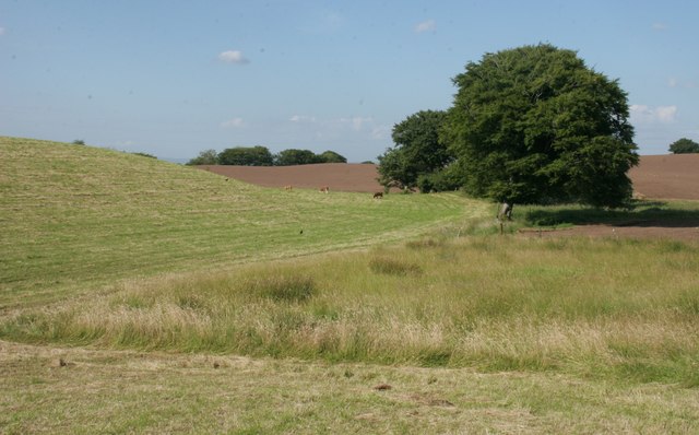
Image: © Richard Sutcliffe Taken: 18 Jul 2017
Although not visible in this view, the Brock Burn follows the edges of the cut grass and passes beside the trees.
Images are licensed for reuse under creativecommons.org/licenses/by-sa/2.0
Image Location
Latitude
55.762779
Longitude
-4.387434