St Pauls Walk, Newport city centre
Introduction
The photograph on this page of St Pauls Walk, Newport city centre by Jaggery as part of the Geograph project.
The Geograph project started in 2005 with the aim of publishing, organising and preserving representative images for every square kilometre of Great Britain, Ireland and the Isle of Man.

There are currently over 7.5m images from over 14,400 individuals and you can help contribute to the project by visiting https://www.geograph.org.uk
St Pauls Walk, Newport city centre
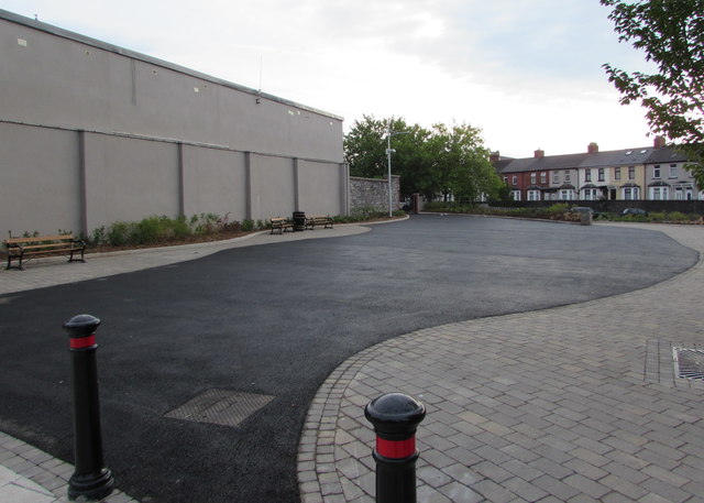
Image: © Jaggery Taken: 19 Jul 2017
St Pauls Walk is a recently created public space between Commercial Street (on the camera side) and Kingsway viewed in mid July 2017. Ebenezer Terrace houses are in the background.
Images are licensed for reuse under creativecommons.org/licenses/by-sa/2.0
Image Location


Leaflet Map data © OpenStreetMap
Latitude
51.583419
Longitude
-2.992054