Blisland Inn
Introduction
The photograph on this page of Blisland Inn by Derek Harper as part of the Geograph project.
The Geograph project started in 2005 with the aim of publishing, organising and preserving representative images for every square kilometre of Great Britain, Ireland and the Isle of Man.

There are currently over 7.5m images from over 14,400 individuals and you can help contribute to the project by visiting https://www.geograph.org.uk
Blisland Inn
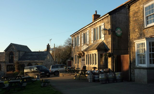
Image: © Derek Harper Taken: 25 Jan 2017
On the north side of the village green which is off to the left, and passes by NCN3. On the left is The Coach House (1869) https://www.historicengland.org.uk/listing/the-list/list-entry/1328296 .
Images are licensed for reuse under creativecommons.org/licenses/by-sa/2.0
Image Location
Latitude
50.528092
Longitude
-4.682515