Clare Avenue
Introduction
The photograph on this page of Clare Avenue by Ian Capper as part of the Geograph project.
The Geograph project started in 2005 with the aim of publishing, organising and preserving representative images for every square kilometre of Great Britain, Ireland and the Isle of Man.

There are currently over 7.5m images from over 14,400 individuals and you can help contribute to the project by visiting https://www.geograph.org.uk
Clare Avenue
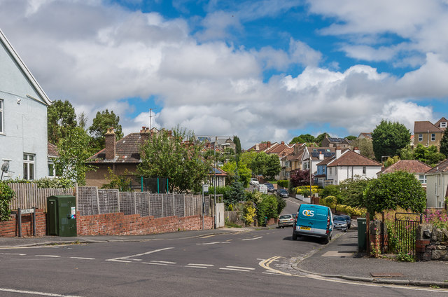
Image: © Ian Capper Taken: 25 Jun 2017
Clare Avenue is shown undeveloped on the 1916 6 inch map, but building doesn't appear to have taken place before the 1930s.
Images are licensed for reuse under creativecommons.org/licenses/by-sa/2.0
Image Location
Latitude
51.47533
Longitude
-2.600208