The hamlet of Saddlescombe in the South Downs
Introduction
The photograph on this page of The hamlet of Saddlescombe in the South Downs by Patrick Roper as part of the Geograph project.
The Geograph project started in 2005 with the aim of publishing, organising and preserving representative images for every square kilometre of Great Britain, Ireland and the Isle of Man.

There are currently over 7.5m images from over 14,400 individuals and you can help contribute to the project by visiting https://www.geograph.org.uk
The hamlet of Saddlescombe in the South Downs
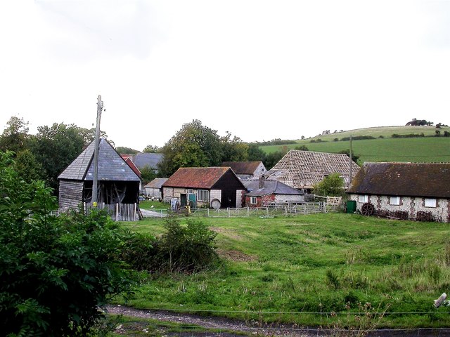
Image: © Patrick Roper Taken: 16 Sep 2004
A farming hamlet nestling in a fold of the South Downs, Saddlescombe and much of the surrounding land is owned by the National Trust
Images are licensed for reuse under creativecommons.org/licenses/by-sa/2.0
Image Location
Latitude
50.888984
Longitude
-0.192497