The Longford River at Ruskin Avenue
Introduction
The photograph on this page of The Longford River at Ruskin Avenue by Des Blenkinsopp as part of the Geograph project.
The Geograph project started in 2005 with the aim of publishing, organising and preserving representative images for every square kilometre of Great Britain, Ireland and the Isle of Man.

There are currently over 7.5m images from over 14,400 individuals and you can help contribute to the project by visiting https://www.geograph.org.uk
The Longford River at Ruskin Avenue
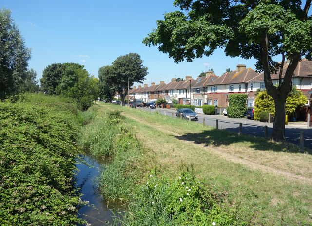
Image: © Des Blenkinsopp Taken: 5 Jul 2017
The Longford River is a man made watercourse constructed in 1638/9 to supply clean water to Hampton Court Palace. Extensive history on https://en.wikipedia.org/wiki/Longford_River It is looking very overgrown and neglected along here.
Images are licensed for reuse under creativecommons.org/licenses/by-sa/2.0
Image Location
Latitude
51.453475
Longitude
-0.416697