Field, Keybridge
Introduction
The photograph on this page of Field, Keybridge by Derek Harper as part of the Geograph project.
The Geograph project started in 2005 with the aim of publishing, organising and preserving representative images for every square kilometre of Great Britain, Ireland and the Isle of Man.

There are currently over 7.5m images from over 14,400 individuals and you can help contribute to the project by visiting https://www.geograph.org.uk
Field, Keybridge
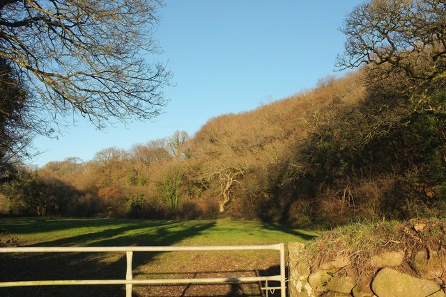
Image: © Derek Harper Taken: 25 Jan 2017
Looking left from where Image was taken. The De lank River runs along the right side of the field. The wood climbing the hillside is unnamed on maps.
Images are licensed for reuse under creativecommons.org/licenses/by-sa/2.0
Image Location
Latitude
50.533942
Longitude
-4.697948