The auld road
Introduction
The photograph on this page of The auld road by Bill Harrison as part of the Geograph project.
The Geograph project started in 2005 with the aim of publishing, organising and preserving representative images for every square kilometre of Great Britain, Ireland and the Isle of Man.

There are currently over 7.5m images from over 14,400 individuals and you can help contribute to the project by visiting https://www.geograph.org.uk
The auld road
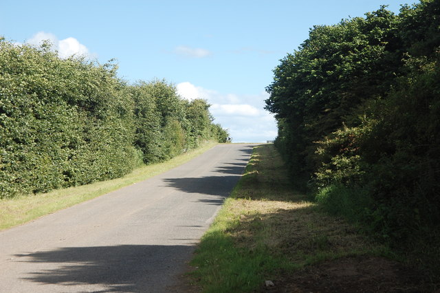
Image: © Bill Harrison Taken: 16 Jul 2017
Former alignment of the A96, now a quiet dead-end serving a couple of farms. The new alignment of the main Aberdeen to Inverness road was opened in the 1990s about 100 metres to the right of the photo.
Images are licensed for reuse under creativecommons.org/licenses/by-sa/2.0
Image Location
Latitude
57.300648
Longitude
-2.426976