Towards the De Lank valley #1
Introduction
The photograph on this page of Towards the De Lank valley #1 by Derek Harper as part of the Geograph project.
The Geograph project started in 2005 with the aim of publishing, organising and preserving representative images for every square kilometre of Great Britain, Ireland and the Isle of Man.

There are currently over 7.5m images from over 14,400 individuals and you can help contribute to the project by visiting https://www.geograph.org.uk
Towards the De Lank valley #1
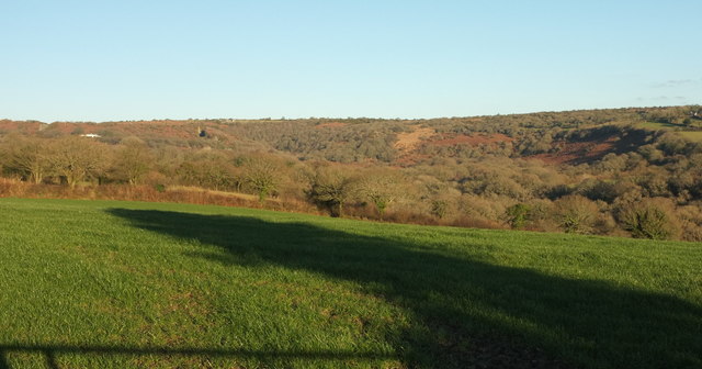
Image: © Derek Harper Taken: 25 Jan 2017
From a gateway beside the spot where Image] was taken. Beyond the foreground fields is the wooded valley, in Image, with Pendrift Downs beyond.
Images are licensed for reuse under creativecommons.org/licenses/by-sa/2.0
Image Location


Leaflet Map data © OpenStreetMap
Latitude
50.53711
Longitude
-4.700952