Hedgerow and unnamed plantation
Introduction
The photograph on this page of Hedgerow and unnamed plantation by Jonathan Thacker as part of the Geograph project.
The Geograph project started in 2005 with the aim of publishing, organising and preserving representative images for every square kilometre of Great Britain, Ireland and the Isle of Man.

There are currently over 7.5m images from over 14,400 individuals and you can help contribute to the project by visiting https://www.geograph.org.uk
Hedgerow and unnamed plantation
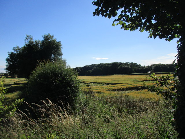
Image: © Jonathan Thacker Taken: 16 Jul 2017
Much of the field of wheat has been flattened by heavy rain.
Images are licensed for reuse under creativecommons.org/licenses/by-sa/2.0
Image Location
Latitude
53.103688
Longitude
-0.972483