Rock Hill, Mansfield, Notts.
Introduction
The photograph on this page of Rock Hill, Mansfield, Notts. by David Hallam-Jones as part of the Geograph project.
The Geograph project started in 2005 with the aim of publishing, organising and preserving representative images for every square kilometre of Great Britain, Ireland and the Isle of Man.

There are currently over 7.5m images from over 14,400 individuals and you can help contribute to the project by visiting https://www.geograph.org.uk
Rock Hill, Mansfield, Notts.
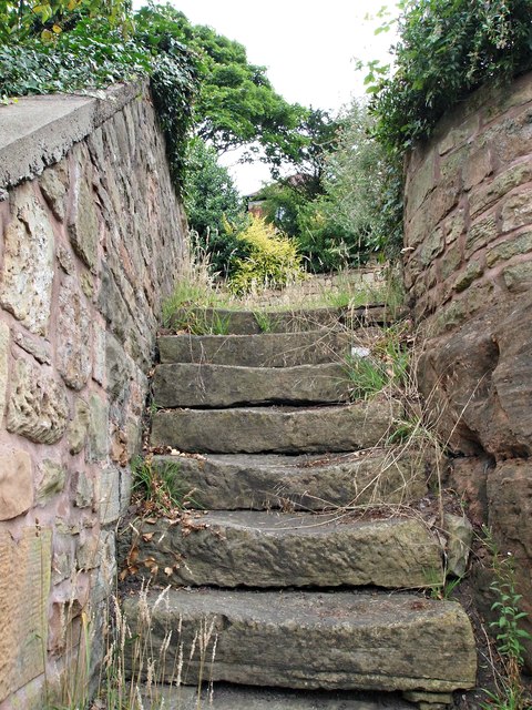
Image: © David Hallam-Jones Taken: 16 Jul 2017
Steps leading from pavement level of Rock Hill (< street name) to one of the upper levels where "rock house dwellers" lived until the late 1800s.
Images are licensed for reuse under creativecommons.org/licenses/by-sa/2.0
Image Location
Latitude
53.140733
Longitude
-1.182538