The Breidden Hills viewed from Dyffryn Lane burial mound near Berriew
Introduction
The photograph on this page of The Breidden Hills viewed from Dyffryn Lane burial mound near Berriew by Jeremy Bolwell as part of the Geograph project.
The Geograph project started in 2005 with the aim of publishing, organising and preserving representative images for every square kilometre of Great Britain, Ireland and the Isle of Man.

There are currently over 7.5m images from over 14,400 individuals and you can help contribute to the project by visiting https://www.geograph.org.uk
The Breidden Hills viewed from Dyffryn Lane burial mound near Berriew
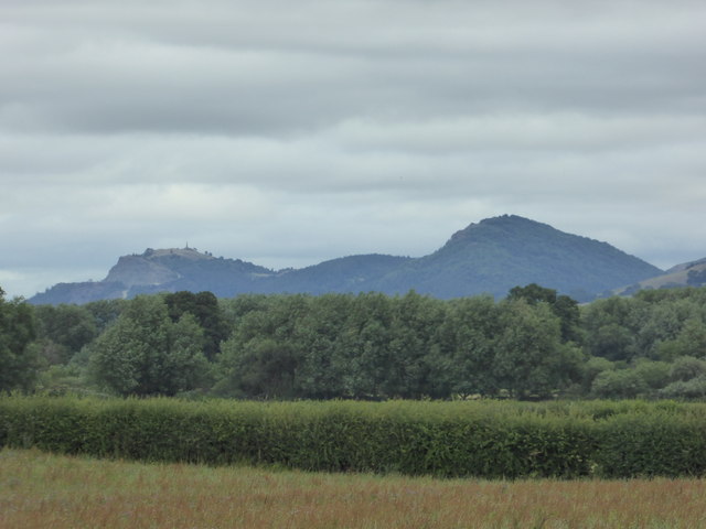
Image: © Jeremy Bolwell Taken: 15 Jul 2017
From some six miles away.
Images are licensed for reuse under creativecommons.org/licenses/by-sa/2.0
Image Location
Latitude
52.703841
Longitude
-3.055905