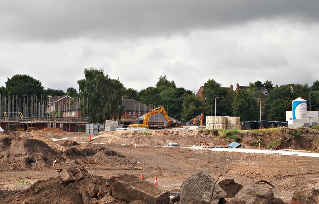
Robin Down's Hill Vicinity, Mansfield, Notts.
Introduction
The photograph on this page of Robin Down's Hill Vicinity, Mansfield, Notts. by David Hallam-Jones as part of the Geograph project.
The Geograph project started in 2005 with the aim of publishing, organising and preserving representative images for every square kilometre of Great Britain, Ireland and the Isle of Man.
There are currently over 7.5m images from over 14,400 individuals and you can help contribute to the project by visiting https://www.geograph.org.uk

Image: © David Hallam-Jones Taken: 16 Jul 2017
Housing construction on a brown field site on the opposite side of the road to the entrances into Nottingham Road Cemetery, i.e. on the east side of the A60. This view is from a footpath linking Nottingham Road and The Oaks (a residential road). The older houses behind the mechanical digger seem likely to be on Robin Down Lane. In 1767, a half-witted travelling busker called Robin Down was playing his flute in the town. A group of boys tormented him to the point where he stabbed one of them. The boy died and Robin Down was apprehended and taken to Nottingham to be tried. In a bid to prove his sanity, the judge, offered Robin Down a choice of two coins, one silver and one gold. As a result of choosing the gold coin because it was 'the shiniest and the most valuable', the judge deemed that he was sane enough to stand trial. He was sentenced and subsequently hanged in Nottingham. His dismembered body was hung on chains at this spot and Robin Down Hill (and Lane) still exist today as a reminder of these events.

