Mansfield Road Cemetery Vicinity, Mansfield, Notts.
Introduction
The photograph on this page of Mansfield Road Cemetery Vicinity, Mansfield, Notts. by David Hallam-Jones as part of the Geograph project.
The Geograph project started in 2005 with the aim of publishing, organising and preserving representative images for every square kilometre of Great Britain, Ireland and the Isle of Man.

There are currently over 7.5m images from over 14,400 individuals and you can help contribute to the project by visiting https://www.geograph.org.uk
Mansfield Road Cemetery Vicinity, Mansfield, Notts.
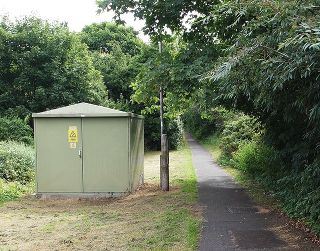
Image: © David Hallam-Jones Taken: 16 Jul 2017
This path commences immediately behind the photographer on Nottingham Road (the A60), opposite Mansfield's Nottingham Road Cemetery. A few hundred metres ahead lies a residential area sandwiched between Nottingham Road and Berry Hill Park (a municipal park).
Images are licensed for reuse under creativecommons.org/licenses/by-sa/2.0
Image Location
Latitude
53.126135
Longitude
-1.190586