Footpath behind the Royal Oak at Stambridge
Introduction
The photograph on this page of Footpath behind the Royal Oak at Stambridge by Jon Singer as part of the Geograph project.
The Geograph project started in 2005 with the aim of publishing, organising and preserving representative images for every square kilometre of Great Britain, Ireland and the Isle of Man.

There are currently over 7.5m images from over 14,400 individuals and you can help contribute to the project by visiting https://www.geograph.org.uk
Footpath behind the Royal Oak at Stambridge
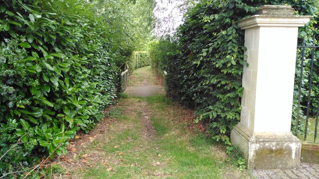
Image: © Jon Singer Taken: 15 Jul 2017
Footpath from Stewards Elm Farm Lane, Stambridge. Running behind the Royal Oak pub
Images are licensed for reuse under creativecommons.org/licenses/by-sa/2.0
Image Location


Leaflet Map data © OpenStreetMap
Latitude
51.593494
Longitude
0.73975