Clock tower, Stevenage
Introduction
The photograph on this page of Clock tower, Stevenage by Stephen McKay as part of the Geograph project.
The Geograph project started in 2005 with the aim of publishing, organising and preserving representative images for every square kilometre of Great Britain, Ireland and the Isle of Man.

There are currently over 7.5m images from over 14,400 individuals and you can help contribute to the project by visiting https://www.geograph.org.uk
Clock tower, Stevenage
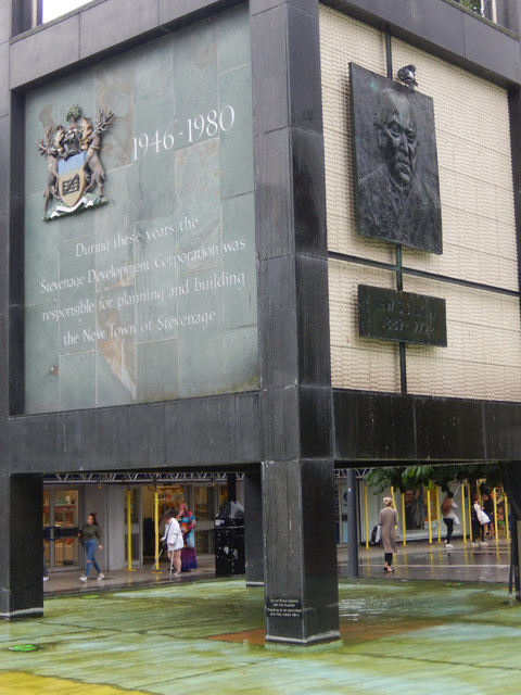
Image: © Stephen McKay Taken: 11 Jul 2017
This shows the bottom section of Stevenage's iconic clock tower. The panel on the left commemorates Stevenage Development Corporation which had responsibility for planning and building the town between 1946 (when it was first designated as a new town, one of a number in the home counties intended to absorb London 'overspill' population) and 1980. The panel on the right has a bronze relief by Fanta Belsky of Lewis Silkin, Minister for Town and Country Planning in the Attlee government. See also Image
Images are licensed for reuse under creativecommons.org/licenses/by-sa/2.0
Image Location
Latitude
51.901603
Longitude
-0.201705