Snarlton Lane
Introduction
The photograph on this page of Snarlton Lane by Michael Dibb as part of the Geograph project.
The Geograph project started in 2005 with the aim of publishing, organising and preserving representative images for every square kilometre of Great Britain, Ireland and the Isle of Man.

There are currently over 7.5m images from over 14,400 individuals and you can help contribute to the project by visiting https://www.geograph.org.uk
Snarlton Lane
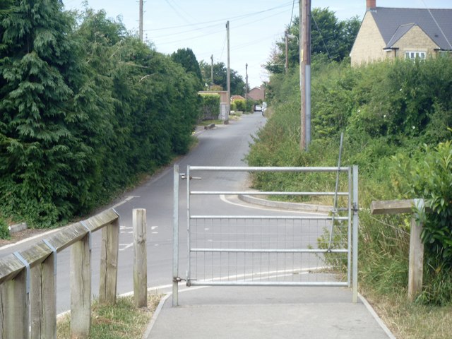
Image: © Michael Dibb Taken: 8 Jul 2017
Until recently Snarlton Lane was the only road in the area. It led from the A3102 road to Snarlton Farm and the continued to Redstocks as a bridleway. Now it has been blocked off at Eastern Way.
Images are licensed for reuse under creativecommons.org/licenses/by-sa/2.0
Image Location
Latitude
51.37329
Longitude
-2.114738