Knapp House, South Petherton
Introduction
The photograph on this page of Knapp House, South Petherton by Bill Harrison as part of the Geograph project.
The Geograph project started in 2005 with the aim of publishing, organising and preserving representative images for every square kilometre of Great Britain, Ireland and the Isle of Man.

There are currently over 7.5m images from over 14,400 individuals and you can help contribute to the project by visiting https://www.geograph.org.uk
Knapp House, South Petherton
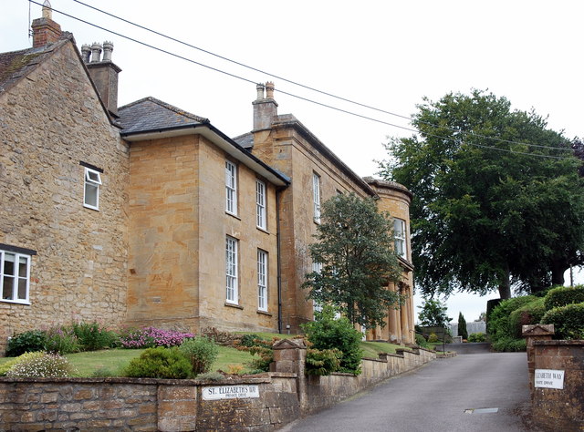
Image: © Bill Harrison Taken: 15 Jul 2016
Pevsner says late 18th Century and the Historic England listing says 17th Century. In the 20th Century it was a "Roman Catholic Mass Centre" until the RC church was built in the 1960s and then a care home.
Images are licensed for reuse under creativecommons.org/licenses/by-sa/2.0
Image Location
Latitude
50.947937
Longitude
-2.806501