Fire Station
Introduction
The photograph on this page of Fire Station by Tom Sargent as part of the Geograph project.
The Geograph project started in 2005 with the aim of publishing, organising and preserving representative images for every square kilometre of Great Britain, Ireland and the Isle of Man.

There are currently over 7.5m images from over 14,400 individuals and you can help contribute to the project by visiting https://www.geograph.org.uk
Fire Station
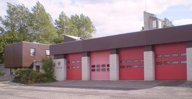
Image: © Tom Sargent Taken: 26 Aug 2007
Strictly speaking Bo’ness is not big enough for a full station but being right next to the petrochemical complex at Grangemouth means increased risk.
Images are licensed for reuse under creativecommons.org/licenses/by-sa/2.0
Image Location
Latitude
56.003666
Longitude
-3.610606