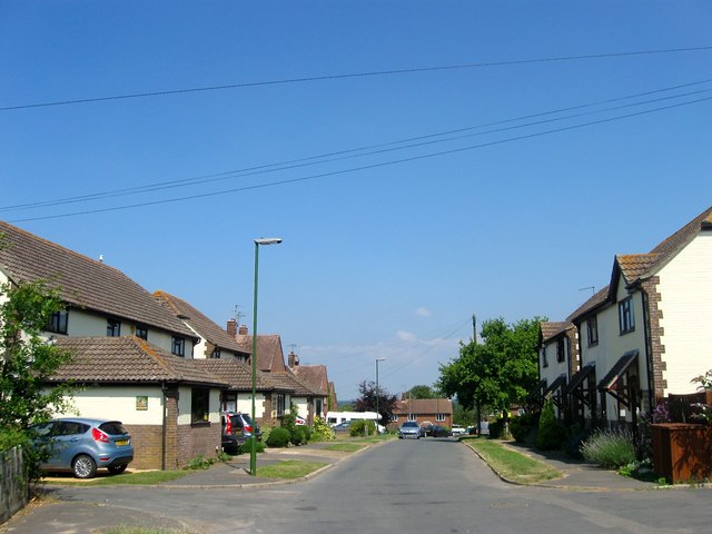
Staples Barn Lane, Henfield
Introduction
The photograph on this page of Staples Barn Lane, Henfield by Simon Carey as part of the Geograph project.
The Geograph project started in 2005 with the aim of publishing, organising and preserving representative images for every square kilometre of Great Britain, Ireland and the Isle of Man.
There are currently over 7.5m images from over 14,400 individuals and you can help contribute to the project by visiting https://www.geograph.org.uk

Image: © Simon Carey Taken: 9 Jul 2017
The northern end of the residential road prior to it becoming Staples Barn which then continues eastwards to Fabians Way. This was the site of Staples Barn which still stood on a 1946 aerial photograph but had disappeared by the time of a 1956 edition of the OS map replaced by a set of garages. This have since been removed and replaced by the current houses initially called Barn Cottages a name retained by those on the right but not those to the left which are now known by their individual house names.

