Green and blue, Badminton Road, Yate
Introduction
The photograph on this page of Green and blue, Badminton Road, Yate by Jaggery as part of the Geograph project.
The Geograph project started in 2005 with the aim of publishing, organising and preserving representative images for every square kilometre of Great Britain, Ireland and the Isle of Man.

There are currently over 7.5m images from over 14,400 individuals and you can help contribute to the project by visiting https://www.geograph.org.uk
Green and blue, Badminton Road, Yate
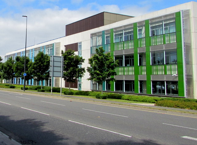
Image: © Jaggery Taken: 12 Jul 2017
The south side of South Gloucestershire Council offices viewed across Badminton Road in July 2017. A March 2009 Google Earth Street View shows these offices being built. http://www.geograph.org.uk/photo/5461874 to another view of the offices.
Images are licensed for reuse under creativecommons.org/licenses/by-sa/2.0
Image Location
Latitude
51.540396
Longitude
-2.439152