Badminton Road bus stop and shelter opposite council offices, Yate
Introduction
The photograph on this page of Badminton Road bus stop and shelter opposite council offices, Yate by Jaggery as part of the Geograph project.
The Geograph project started in 2005 with the aim of publishing, organising and preserving representative images for every square kilometre of Great Britain, Ireland and the Isle of Man.

There are currently over 7.5m images from over 14,400 individuals and you can help contribute to the project by visiting https://www.geograph.org.uk
Badminton Road bus stop and shelter opposite council offices, Yate
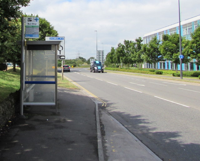
Image: © Jaggery Taken: 12 Jul 2017
This stop is for buses to Bristol Parkway railway station, Cribbs Causeway, Bristol city centre etc. South Gloucestershire Council offices http://www.geograph.org.uk/photo/5461874 are on the right.
Images are licensed for reuse under creativecommons.org/licenses/by-sa/2.0
Image Location
Latitude
51.54031
Longitude
-2.437998