Upstream towards Aberffraw village
Introduction
The photograph on this page of Upstream towards Aberffraw village by Gordon Hatton as part of the Geograph project.
The Geograph project started in 2005 with the aim of publishing, organising and preserving representative images for every square kilometre of Great Britain, Ireland and the Isle of Man.

There are currently over 7.5m images from over 14,400 individuals and you can help contribute to the project by visiting https://www.geograph.org.uk
Upstream towards Aberffraw village
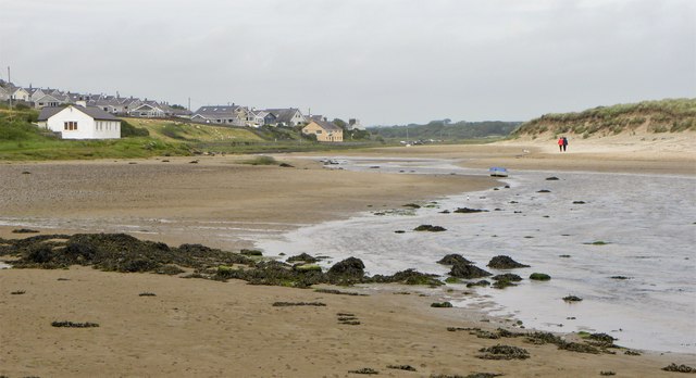
Image: © Gordon Hatton Taken: 4 Jul 2017
The Anglesey Coast Path follows both banks of the Afon Ffraw here and it is generally easier to walk the sands than the somewhat muddy path along the bank to the left side. No such option at high tide.
Images are licensed for reuse under creativecommons.org/licenses/by-sa/2.0
Image Location


Leaflet Map data © OpenStreetMap
Latitude
53.185863
Longitude
-4.466511