Field at Checkley
Introduction
The photograph on this page of Field at Checkley by David Weston as part of the Geograph project.
The Geograph project started in 2005 with the aim of publishing, organising and preserving representative images for every square kilometre of Great Britain, Ireland and the Isle of Man.

There are currently over 7.5m images from over 14,400 individuals and you can help contribute to the project by visiting https://www.geograph.org.uk
Field at Checkley
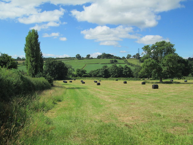
Image: © David Weston Taken: 12 Jul 2017
Viewed from the A522. The field is adjacent to the houses in Badgers Hollow to the left.
Images are licensed for reuse under creativecommons.org/licenses/by-sa/2.0
Image Location


Leaflet Map data © OpenStreetMap
Latitude
52.939928
Longitude
-1.964545