Michaelstow
Introduction
The photograph on this page of Michaelstow by Derek Harper as part of the Geograph project.
The Geograph project started in 2005 with the aim of publishing, organising and preserving representative images for every square kilometre of Great Britain, Ireland and the Isle of Man.

There are currently over 7.5m images from over 14,400 individuals and you can help contribute to the project by visiting https://www.geograph.org.uk
Michaelstow
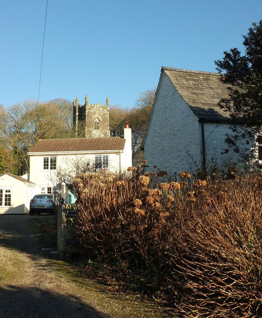
Image: © Derek Harper Taken: 25 Jan 2017
A scene in the village. On the right is the former school house, listed together with the old school https://www.historicengland.org.uk/listing/the-list/list-entry/1143534 . Beyond the modern house is the tower of the church of St Michael Image
Images are licensed for reuse under creativecommons.org/licenses/by-sa/2.0
Image Location
Latitude
50.577759
Longitude
-4.712883