Path through woodland
Introduction
The photograph on this page of Path through woodland by Robin Webster as part of the Geograph project.
The Geograph project started in 2005 with the aim of publishing, organising and preserving representative images for every square kilometre of Great Britain, Ireland and the Isle of Man.

There are currently over 7.5m images from over 14,400 individuals and you can help contribute to the project by visiting https://www.geograph.org.uk
Path through woodland
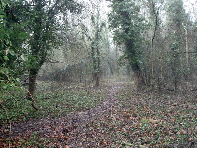
Image: © Robin Webster Taken: 20 Feb 2011
Between fields with horses on the left and a golf course on the right. This is along an old field hedgerow, expanded. The path is probably unofficial.
Images are licensed for reuse under creativecommons.org/licenses/by-sa/2.0
Image Location
Latitude
51.33283
Longitude
-0.065565