A former drinking fountain?
Introduction
The photograph on this page of A former drinking fountain? by HelenK as part of the Geograph project.
The Geograph project started in 2005 with the aim of publishing, organising and preserving representative images for every square kilometre of Great Britain, Ireland and the Isle of Man.

There are currently over 7.5m images from over 14,400 individuals and you can help contribute to the project by visiting https://www.geograph.org.uk
A former drinking fountain?
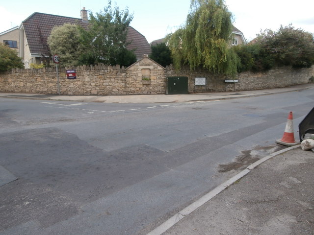
Image: © HelenK Taken: 12 Jul 2017
At the junction of Dane Rise and Bradford Road, there is what appears once to have been a drinking fountain (too narrow for a horse trough), embedded in stonework with a pediment. It now has a flower box.
Images are licensed for reuse under creativecommons.org/licenses/by-sa/2.0
Image Location
Latitude
51.348089
Longitude
-2.286402