Houses at Valley Truckle
Introduction
The photograph on this page of Houses at Valley Truckle by Derek Harper as part of the Geograph project.
The Geograph project started in 2005 with the aim of publishing, organising and preserving representative images for every square kilometre of Great Britain, Ireland and the Isle of Man.

There are currently over 7.5m images from over 14,400 individuals and you can help contribute to the project by visiting https://www.geograph.org.uk
Houses at Valley Truckle
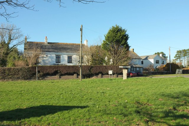
Image: © Derek Harper Taken: 25 Jan 2017
Looking left from where Image] was taken, across the A39. The pale grey granite block right of centre surmounted by a signpost is a listed "guidepost" https://www.historicengland.org.uk/listing/the-list/list-entry/1143561 : "Circa early C19. ... Granite monolith, triangular-on-plan. Directions to Bodmin, Camelford and Wadebridge inscribed on 3 faces in upper and lower case lettering with serifs". The side facing the camera bears "Bodmin".
Images are licensed for reuse under creativecommons.org/licenses/by-sa/2.0
Image Location
Latitude
50.611165
Longitude
-4.688089