Parc Lota/Lota Park, Abergwaun/Fishguard
Introduction
The photograph on this page of Parc Lota/Lota Park, Abergwaun/Fishguard by Natasha Ceridwen de Chroustchoff as part of the Geograph project.
The Geograph project started in 2005 with the aim of publishing, organising and preserving representative images for every square kilometre of Great Britain, Ireland and the Isle of Man.

There are currently over 7.5m images from over 14,400 individuals and you can help contribute to the project by visiting https://www.geograph.org.uk
Parc Lota/Lota Park, Abergwaun/Fishguard
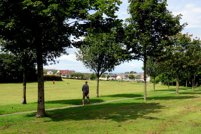
Image: © Natasha Ceridwen de Chroustchoff Taken: 10 Jul 2017
Looking NE from the top of the park. Regarding the history and name of the park see http://www.geograph.org.uk/photo/331768
Images are licensed for reuse under creativecommons.org/licenses/by-sa/2.0
Image Location
Latitude
51.992617
Longitude
-4.980011