Rosefield Place, Royal Leamington Spa
Introduction
The photograph on this page of Rosefield Place, Royal Leamington Spa by Robin Stott as part of the Geograph project.
The Geograph project started in 2005 with the aim of publishing, organising and preserving representative images for every square kilometre of Great Britain, Ireland and the Isle of Man.

There are currently over 7.5m images from over 14,400 individuals and you can help contribute to the project by visiting https://www.geograph.org.uk
Rosefield Place, Royal Leamington Spa
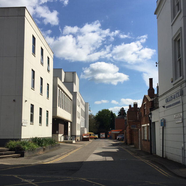
Image: © Robin Stott Taken: 18 Apr 2017
Rosefield Place runs between Hamilton Terrace, camera position, and Newbold Terrace ahead, where it is stopped up. To the right (west) is the rear of Euston Place: estate agents-ville. To the left nearest the camera is a corner of the police station; beyond it the new Warwickshire Justice Centre of which it is now a part: see Chris Allen's Image The reverse view is Image The centre replaces the unloved magistrates court on Newbold Terrace and has extended back over Euston Square, a dead expanse of paving below which was the police car park. Rosefield is a pretty name; I've not yet discovered where it came from. In the early 19th century this was farmland.
Images are licensed for reuse under creativecommons.org/licenses/by-sa/2.0
Image Location
Latitude
52.288338
Longitude
-1.534191