Oliver's Bridge, Wendover Arm
Introduction
The photograph on this page of Oliver's Bridge, Wendover Arm by Stephen McKay as part of the Geograph project.
The Geograph project started in 2005 with the aim of publishing, organising and preserving representative images for every square kilometre of Great Britain, Ireland and the Isle of Man.

There are currently over 7.5m images from over 14,400 individuals and you can help contribute to the project by visiting https://www.geograph.org.uk
Oliver's Bridge, Wendover Arm
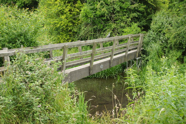
Image: © Stephen McKay Taken: 4 Jul 2017
This wooden footbridge has been installed where the disused canal was once crossed by a narrow gauge railway serving what is now RAF Halton.
Images are licensed for reuse under creativecommons.org/licenses/by-sa/2.0
Image Location
Latitude
51.77221
Longitude
-0.741242