Bopeep Junction, West St. Leonards
Introduction
The photograph on this page of Bopeep Junction, West St. Leonards by Patrick Roper as part of the Geograph project.
The Geograph project started in 2005 with the aim of publishing, organising and preserving representative images for every square kilometre of Great Britain, Ireland and the Isle of Man.

There are currently over 7.5m images from over 14,400 individuals and you can help contribute to the project by visiting https://www.geograph.org.uk
Bopeep Junction, West St. Leonards
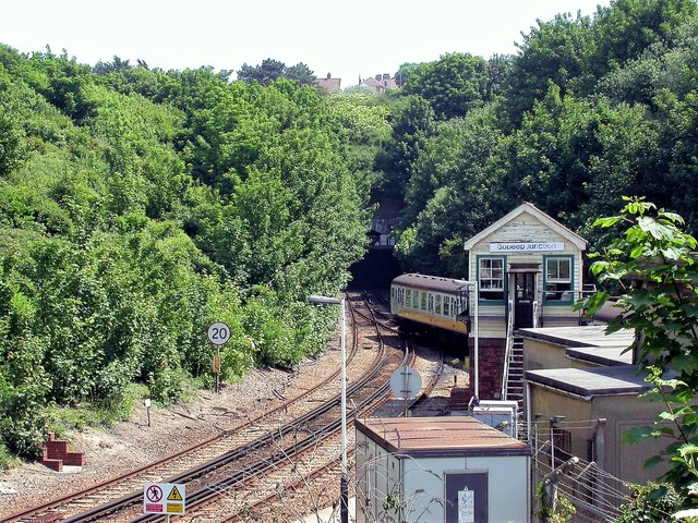
Image: © Patrick Roper Taken: 9 May 2003
The point where the Lewes line and the Tunbridge Wells line converge to the east of West St. Leonards station before entering the Bopeep Tunnel.
Images are licensed for reuse under creativecommons.org/licenses/by-sa/2.0
Image Location
Latitude
50.85309
Longitude
0.541523