Footpath to Charter Approach from Queen's Square, Warwick
Introduction
The photograph on this page of Footpath to Charter Approach from Queen's Square, Warwick by Robin Stott as part of the Geograph project.
The Geograph project started in 2005 with the aim of publishing, organising and preserving representative images for every square kilometre of Great Britain, Ireland and the Isle of Man.

There are currently over 7.5m images from over 14,400 individuals and you can help contribute to the project by visiting https://www.geograph.org.uk
Footpath to Charter Approach from Queen's Square, Warwick
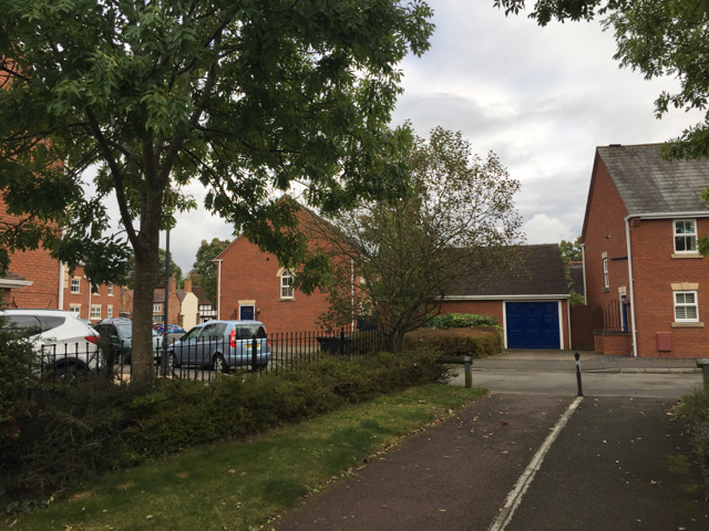
Image: © Robin Stott Taken: 12 Oct 2016
Queen's Square was there in the 19th century: two-storey terraced houses. Charter Approach is more recent: late 20th or early 21st-century. It is on the site of an engineering works in the backland of West Street, glimpsed left. The works first appeared on an OS map of 1952 (a wartime development?) and had extended through to the back of St Laurence Avenue on a map of 1966-72. In the 19th century and up to World War II the site was a tannery and skin works. A brook still runs through here on its way to the Avon.
Images are licensed for reuse under creativecommons.org/licenses/by-sa/2.0
Image Location
Latitude
52.277679
Longitude
-1.59381