Sign and fence
Introduction
The photograph on this page of Sign and fence by DS Pugh as part of the Geograph project.
The Geograph project started in 2005 with the aim of publishing, organising and preserving representative images for every square kilometre of Great Britain, Ireland and the Isle of Man.

There are currently over 7.5m images from over 14,400 individuals and you can help contribute to the project by visiting https://www.geograph.org.uk
Sign and fence
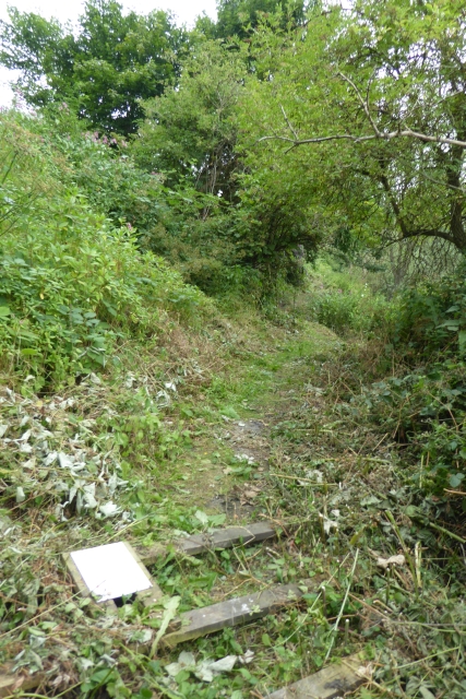
Image: © DS Pugh Taken: 27 Jun 2017
The sign explained the path along the river bank was closed due to erosion and the difficulty in passing. I'd come from the other end and hadn't passed a sign. The path had been mown, but was hard going and very muddy with multiple chunks of path missing.
Images are licensed for reuse under creativecommons.org/licenses/by-sa/2.0
Image Location
Latitude
51.447454
Longitude
-2.558702