Rothienorman Parish Church
Introduction
The photograph on this page of Rothienorman Parish Church by Bill Harrison as part of the Geograph project.
The Geograph project started in 2005 with the aim of publishing, organising and preserving representative images for every square kilometre of Great Britain, Ireland and the Isle of Man.

There are currently over 7.5m images from over 14,400 individuals and you can help contribute to the project by visiting https://www.geograph.org.uk
Rothienorman Parish Church
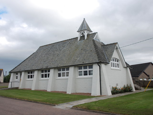
Image: © Bill Harrison Taken: 1 Jul 2017
A striking and highly unusual rural church from the 1930s, designed by George Mitchell: http://www.scottisharchitects.org.uk/architect_full.php?id=202122 . The Buildings of Scotland guide calls it "late Arts and Crafts". The stone just visible above the flowerbed reads: Foundation stone / 8th June 1936.
Images are licensed for reuse under creativecommons.org/licenses/by-sa/2.0
Image Location
Latitude
57.41038
Longitude
-2.46304