Site of Alsager Arms and car park
Introduction
The photograph on this page of Site of Alsager Arms and car park by Jonathan Hutchins as part of the Geograph project.
The Geograph project started in 2005 with the aim of publishing, organising and preserving representative images for every square kilometre of Great Britain, Ireland and the Isle of Man.

There are currently over 7.5m images from over 14,400 individuals and you can help contribute to the project by visiting https://www.geograph.org.uk
Site of Alsager Arms and car park
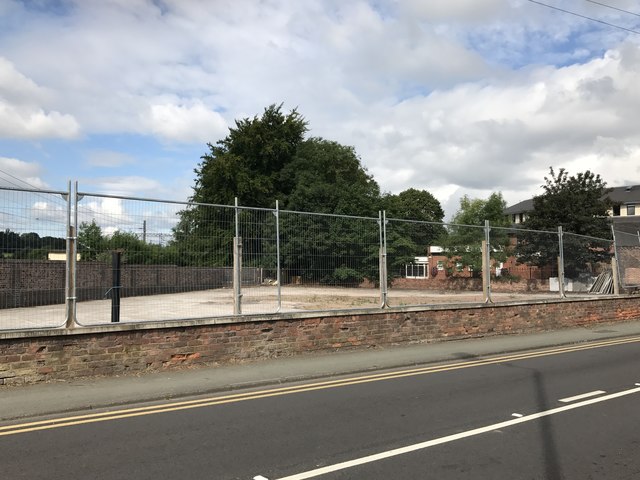
Image: © Jonathan Hutchins Taken: 9 Jul 2017
Previous images of the Alsager Arms show it variously closed (2009, http://www.geograph.org.uk/photo/1567208 ) , open (May 2015, http://www.geograph.org.uk/photo/4492085 ) and closed again (Jun 2016, http://www.geograph.org.uk/photo/4992575 ) However it has now gone for good and the site cleared.
Images are licensed for reuse under creativecommons.org/licenses/by-sa/2.0
Image Location
Latitude
53.093089
Longitude
-2.300103