St Margaret's Episcopal Church, Forgue
Introduction
The photograph on this page of St Margaret's Episcopal Church, Forgue by Bill Harrison as part of the Geograph project.
The Geograph project started in 2005 with the aim of publishing, organising and preserving representative images for every square kilometre of Great Britain, Ireland and the Isle of Man.

There are currently over 7.5m images from over 14,400 individuals and you can help contribute to the project by visiting https://www.geograph.org.uk
St Margaret's Episcopal Church, Forgue
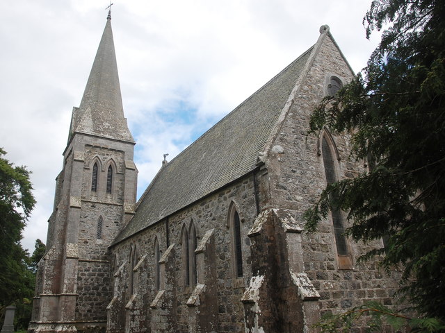
Image: © Bill Harrison Taken: 1 Jul 2017
View from the northwest, showing the rather awkward location of the tower and spire in the northeast corner (or, as the Ordnance Survey map symbol is defined these days: "Current or former place of worship with spire, minaret or dome").
Images are licensed for reuse under creativecommons.org/licenses/by-sa/2.0
Image Location
Latitude
57.490043
Longitude
-2.649544