Cottage at Tibbermore Crossroads
Introduction
The photograph on this page of Cottage at Tibbermore Crossroads by Alan Reid as part of the Geograph project.
The Geograph project started in 2005 with the aim of publishing, organising and preserving representative images for every square kilometre of Great Britain, Ireland and the Isle of Man.

There are currently over 7.5m images from over 14,400 individuals and you can help contribute to the project by visiting https://www.geograph.org.uk
Cottage at Tibbermore Crossroads
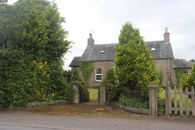
Image: © Alan Reid Taken: 7 Jul 2017
This cottage shows on the 1856 Ordnance Survey 1" to the mile map.
Images are licensed for reuse under creativecommons.org/licenses/by-sa/2.0
Image Location
Latitude
56.395715
Longitude
-3.539798