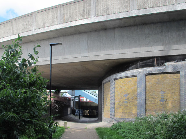
Underpasses: Watermead Way, N17, and railway lines
Introduction
The photograph on this page of Underpasses: Watermead Way, N17, and railway lines by Mike Quinn as part of the Geograph project.
The Geograph project started in 2005 with the aim of publishing, organising and preserving representative images for every square kilometre of Great Britain, Ireland and the Isle of Man.
There are currently over 7.5m images from over 14,400 individuals and you can help contribute to the project by visiting https://www.geograph.org.uk

Image: © Mike Quinn Taken: 7 Jun 2017
Looking underneath Watermead Way towards the footbridge over, and the underpass beneath, the railway lines beyond. A Victoria Line train can be seen passing on its way to the Northumberland Park Depot - see Image Warnings for the unwary: the footbridge is closed off (and appears to have been so for some time). And the railway underpass is impassable as it's flooded to well above ankle height - and there's overwhelming smell of sewage.

