Spring and trough next to Sowerby Bridge FP35, Luddendenfoot
Introduction
The photograph on this page of Spring and trough next to Sowerby Bridge FP35, Luddendenfoot by Humphrey Bolton as part of the Geograph project.
The Geograph project started in 2005 with the aim of publishing, organising and preserving representative images for every square kilometre of Great Britain, Ireland and the Isle of Man.

There are currently over 7.5m images from over 14,400 individuals and you can help contribute to the project by visiting https://www.geograph.org.uk
Spring and trough next to Sowerby Bridge FP35, Luddendenfoot
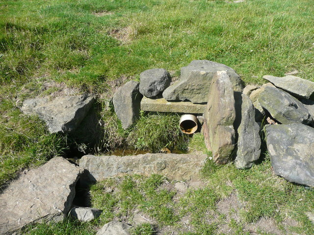
Image: © Humphrey Bolton Taken: 3 Jul 2017
This is captioned 'Well' on the 1850 six-inch map and 'trough' on the 1964 1:2500 map - earlier 1:2500 maps ignored it.
Images are licensed for reuse under creativecommons.org/licenses/by-sa/2.0
Image Location
Latitude
53.715454
Longitude
-1.927839