OS Cut Benchmark on Disused Railway Bridge, Bowling Back Lane
Introduction
The photograph on this page of OS Cut Benchmark on Disused Railway Bridge, Bowling Back Lane by Stephen Armstrong as part of the Geograph project.
The Geograph project started in 2005 with the aim of publishing, organising and preserving representative images for every square kilometre of Great Britain, Ireland and the Isle of Man.

There are currently over 7.5m images from over 14,400 individuals and you can help contribute to the project by visiting https://www.geograph.org.uk
OS Cut Benchmark on Disused Railway Bridge, Bowling Back Lane
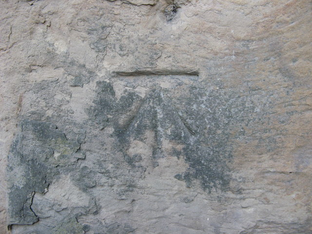
Image: © Stephen Armstrong Taken: 17 May 2016
Details at http://www.bench-marks.org.uk/bm86094
Images are licensed for reuse under creativecommons.org/licenses/by-sa/2.0
Image Location
Latitude
53.787
Longitude
-1.736021